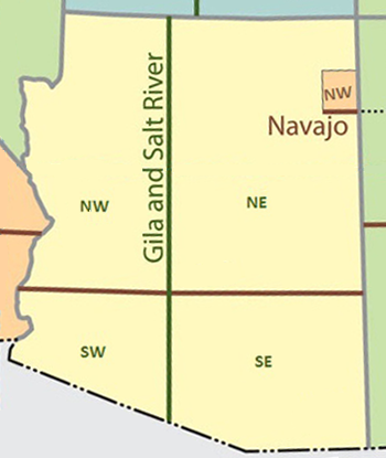
Map of Arizona State Meridians
Text Search: Complete a field and press a Search button to search for wells based on that attribute.
LAS Data: In the Results table, click a LAS Data link to open LAS data in a text file which can then be saved using Save As.
Caution: Chrome, Firefox, Edge, IE 11, or Safari are required to properly view this page.
| API No |
State Permit No |
Operator |
Well Name |
County |
Township Range Section |
Depth (ft) |
Formation at Depth |
Well Folder |
Scanned Well Logs |
LAS Data |